GeoStamp
GPS timestamp camera for field teams on Google Play: stamped photos, project logs and one-tap PDF site reports.
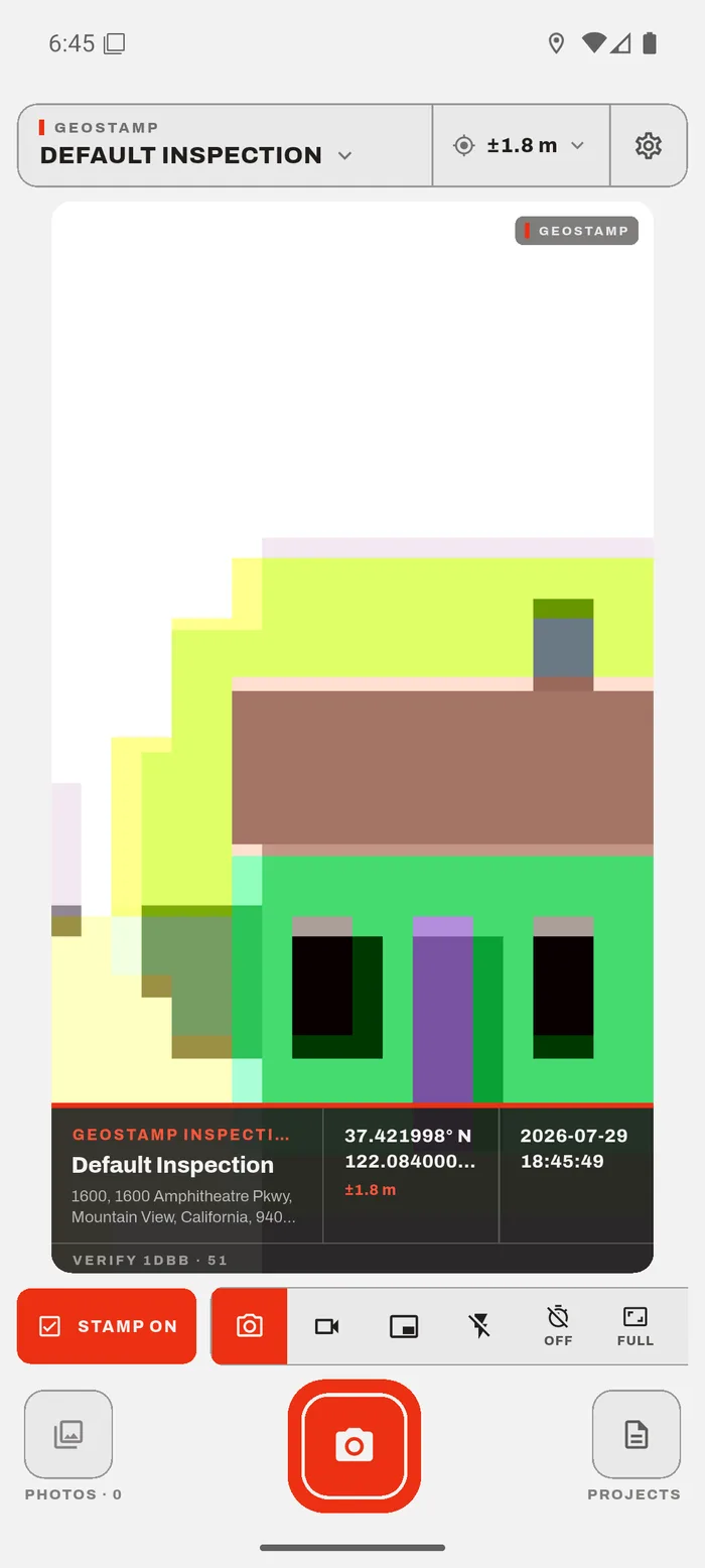
The product
Construction and inspection teams need photographic proof of where and when work happened. GeoStamp burns coordinates, the reverse-geocoded address, an OpenStreetMap mini-map, time, accuracy, altitude, heading and a SHA-256 verification code into every photo, organises photos into projects, and exports PDF site reports and ZIP backups.
It runs fully offline, with no account and no server of its own; analytics record only accuracy buckets, never coordinates. I made 32 of its 36 commits.
Under the hood
THE ENGINEERING
- 01
Contract-first architecture: 10 service contracts with no-op stubs behind a service locator, so the app runs with nothing configured
- 02
Built in parallel tracks by AI coding agents against frozen contracts I wrote first, then integrated one track at a time with analyze and tests after each merge
- 03
Compass smoothing: a rolling circular mean over 1 s, so 350° and 10° average to 0°, not 180°, with deterministic tests
- 04
Projects with photo logs, themed PDF site reports and ZIP backups
- 05
Firebase Crashlytics, Analytics and Remote Config that switch on only if Firebase starts
In the product


Next case study
Dasho →